
Hiking from Horní Maršov across the Krkonoše Mountains to the Labské and Pančavské waterfalls
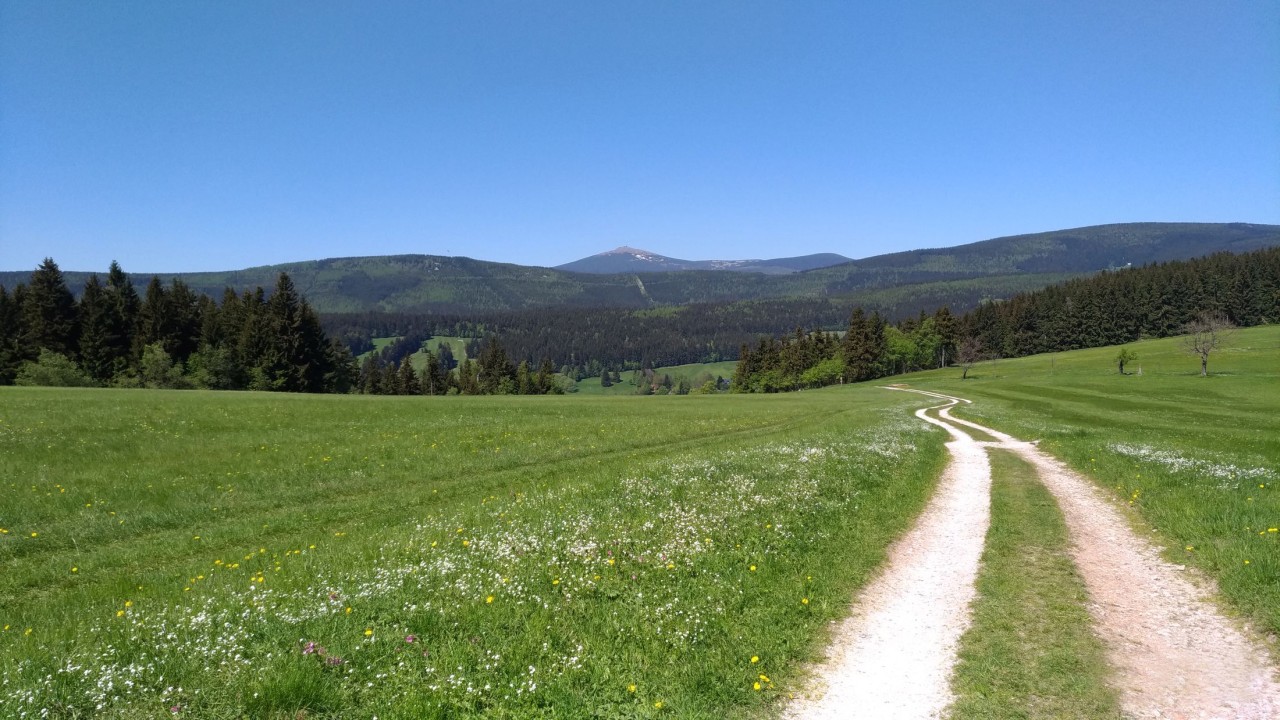
The journey of the Čapek brothers (reprophoto)
Horní Maršov, Malá Úpa, Kowary, Brźeznik, Krkavčí skály, Karpacz, Wang church, Malý Staw, Wielki Staw, Velký Šišák, Vysoké kolo, Sněžné jama, Vosecká bouda, Prameny Elbe, Elbe waterfall, Pančavský waterfall, Elbe mine, Špindlerův Mlýn. (83 km)
Sunday 13th – Wednesday 16th August 2023
“I come,” the Wanderer answers, “from my birth. But where I actually set out from, I do not know. I came from my parents, my grandfathers, from a nameless line of ancestors. … I certainly came from the organic, which wants the organic, from nature, which wants life to continue. And I undoubtedly also came from the universe, from which everything that is comes. But where it is from, I do not know. … But where I am from, I do not know.”
Josef Čapek, The Lame Pilgrim
After the end of this year seminars of our Traveling University of Nature in Horní Maršov (7th to 13th August) on Sunday morning, 13th August, we will set off on a journey that will lead across the Giant Mountains and connect their Czech and the Polish part. We will cross the state border and visit the town of Kowary in Poland and look from there at the unique high panorama of the Giant Mountains, which we were not lucky enough to do during last year's hike. Then we will visit the town of Karpacz and the unique Norwegian all-wooden church Wang and then the two largest glacial lakes in the Giant Mountains, Wielky Staw and Maly Staw (Great Pond and Small Pond), hiding and dreaming under the Silver Ridge. At the end of the hike, we will reach the sources of the Elbe and the Elbe and Pančava waterfalls and honor the waters that spring from the Elbe meadow by hiking through the Elbe mine along the Elbe to Spindleruv Mlyn.
First day ∙ Sunday 13. 8. (22 km):
After breakfast at the DOTEK center, at 9:30 we will set off from Horní Maršov along the blue trail to the Krkonoše National Park to the village Lower Lysečiny (Lysečinská rock needle) and Upper Lysečiny; here we turn off on the yellow path past the U Tygra game reserve at the crossroads Traveler, where we connect to The journey of the Čapek brothers, which will take us to the border mountain village Little Upa, whose cadastre also includes the highest Czech mountain Sněžka. We will walk past the beautiful dominant of the village, the Church of St. Peter and Paul, following the red trail The Journey of the Čapek Brothers – around Eličina Valley and the ski area along the slopes of the Krkonoše Mountains to the Czech-Polish border crossing Border huts in Horní Malá Úpa. We cross the state border and follow the yellow cycle path to the crossroads. Uroczysko and then continue along the green and yellow lines to the center of the town of Kowary, which is located at the foot of the Krkonoše Mountains and the Janovické rudohoří Mountains in the eastern part of the Jelenohorská
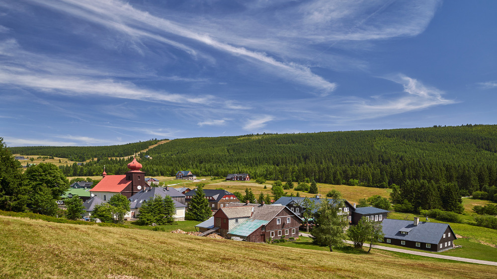
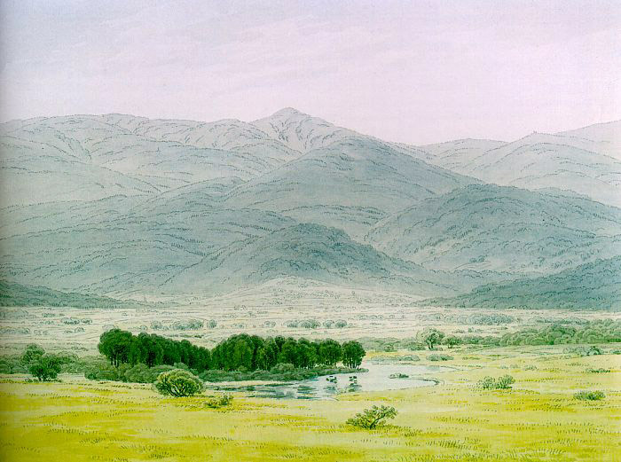
basin. The origin and development of the village are mainly related to the mining of iron ore and blacksmithing; iron ore was discovered here as early as 1148 at the foot of the mountain Mine. Originally a German and then Prussian municipality, it was incorporated into Poland in 1945 and the German population was displaced. On July 13, 1810, he visited Kowary (then Schmiedeberg im Riesengebirge) The great German Romantic painter Caspar David Friedrich and his friend, painter Georg Friedrich Kersting, on their trip to the Giant Mountains. The views of the high panorama of the Giant Mountains from the Kovářské Valley inspired Friedrich to create several remarkable drawings, watercolors and paintings.
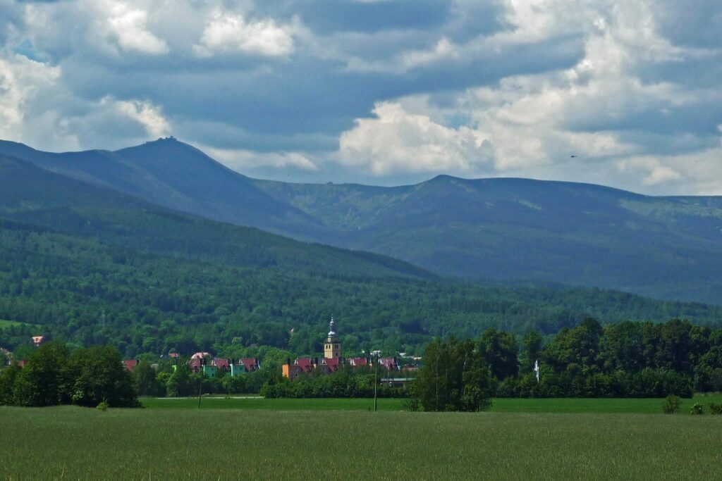
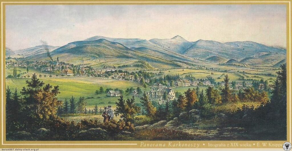
We will walk through Kowary – past the Franciscan monastery and along the Jedlica River, which flows through the center of the city – and past the pond Zalew we will enter the Rudawski Landscape Park, where we will climb the mountain Brzeznik (557 m), on whose slopes there are beautiful Babie SkalyFrom Brźeznik there is a unique view of Kowary and the panorama of the Krkonoše Mountains, as evidenced by the lithograph by EWKnipell from around the mid-19th century (see picture). We spend the night on the slopes of the mountain.
Second day ∙ Monday 14. 8. (21 km)
From Brźeznik we will set off on a short trip in the morning to Rudawski Park Krajobrazowe. We'll go around around Park Mountains (550 m) and below Góra Bukowa (552 m) up to Devil's Pulpit (Diabelska Ambona), a complex of rocks with a former lookout tower (573 m), located on the edge of the park above the village of Wojkow; it is a former favorite place of prayer for persecuted Protestants, which today serves as a training climbing rock.
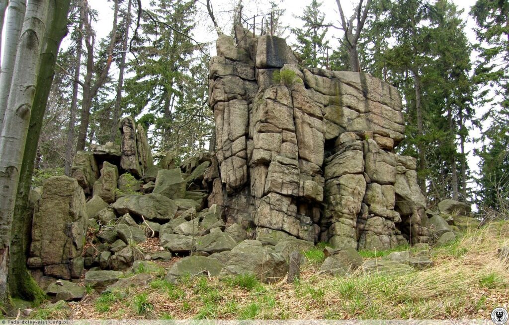
From the Devil's Pulpit we will go to the "Wysoka Laka" Hospital and then further to the water reservoirs Bystra to the center of Kowary. In Kowary we will have lunch and continue along the yellow cycle path Walbrzych – Sklarska Poreba and follow it to the edge of the tourist village in the foothills of the Giant Mountains Karpacz, under Krucze Rocks (Krkavčí Rocks) which we will climb. In this granite-gneiss outcrop there are large clusters of pegmatites with crystals of rare minerals (corundum, sapphires, tourmalines) and there is a unique view of the panorama of the Krkonoše Mountains with Sněžka.
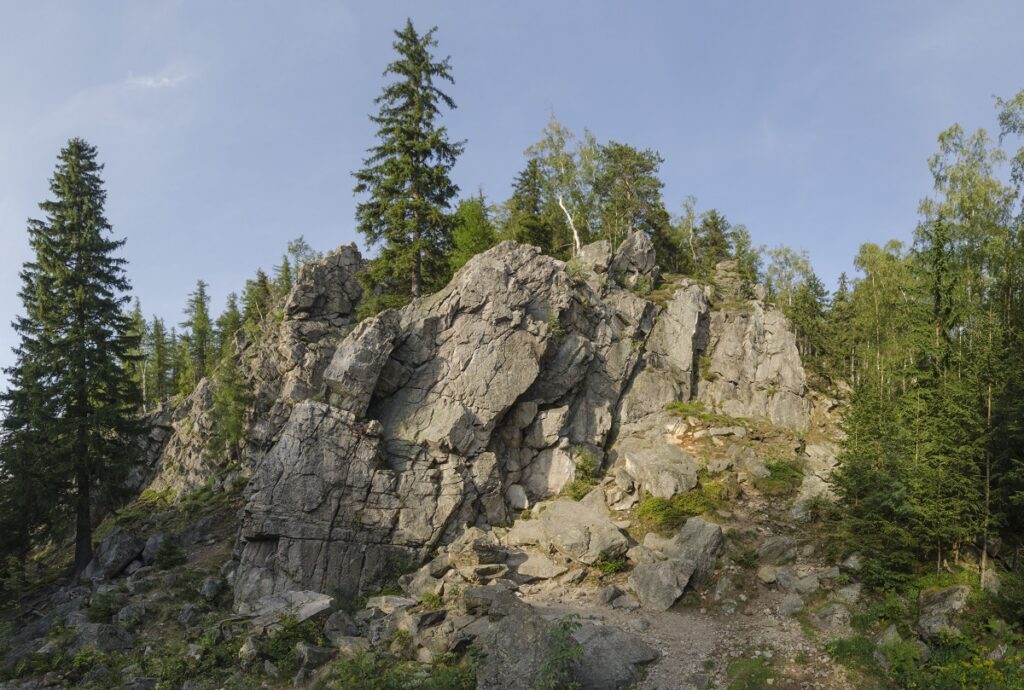
Crow Rocks (Krucze skaly)
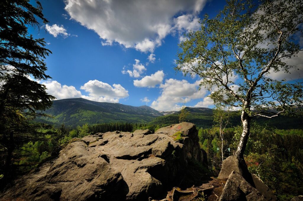
View of the Giant Mountains from Krkavče skaly
From Krkavče skaly we will continue to the river. Lomniczka and from there follow the yellow line to the quarter Wilcza Poreba, where we turn onto the green road (Droga Bronka Czecha) to Lomnica stream, which we cross and climb up Krkonošská Street to Wang churchThis unique all-wooden church of Viking origin from the 12th century was moved to Karpacz from Norway in 1841 at the instigation of the Norwegian painter Johan Christian Dahl, a friend of CD Friedrich. We will tour the church and spend the night behind it in the forest on the edge of the Krkonoše National Park.
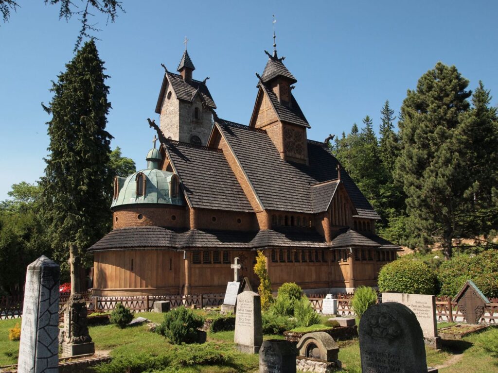
Third day ∙ Tuesday 15. 8. (24 km)
In the morning we will set off along the blue and then the yellow trail to the Krkonoše National Park at the crossroads on the hill. Glade (1067 m) with the ruins of the hut and from there follow the blue path to the glacial lake Little Staw (Small pond), the second largest lake in the Krkonoše Mountains, which is located at an altitude of 1183 m. From here we will follow the blue trail to the red-marked Czech-Polish Friendship Trail and then Silver-backed (1486 m) above By Little Pond up to above Wielki Staw (Velký rybník), the largest lake in the Krkonoše Mountains (8.5 ha), located at an altitude of 1225 m. It is closed by a moraine, the kar wall is 180 m high and reaches a depth of 25 m. We will continue on Noonstones (Sunflower) and below Little Shishak (1440 m) up to Špindlerův Bouda.
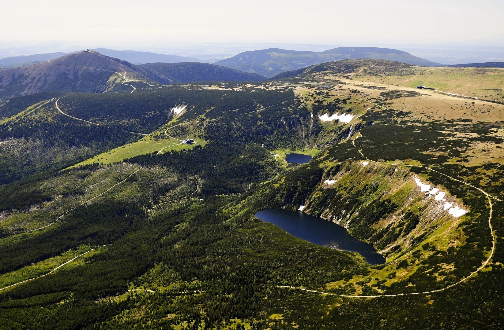
Wielki and Maly Staw in the background of Sněžka
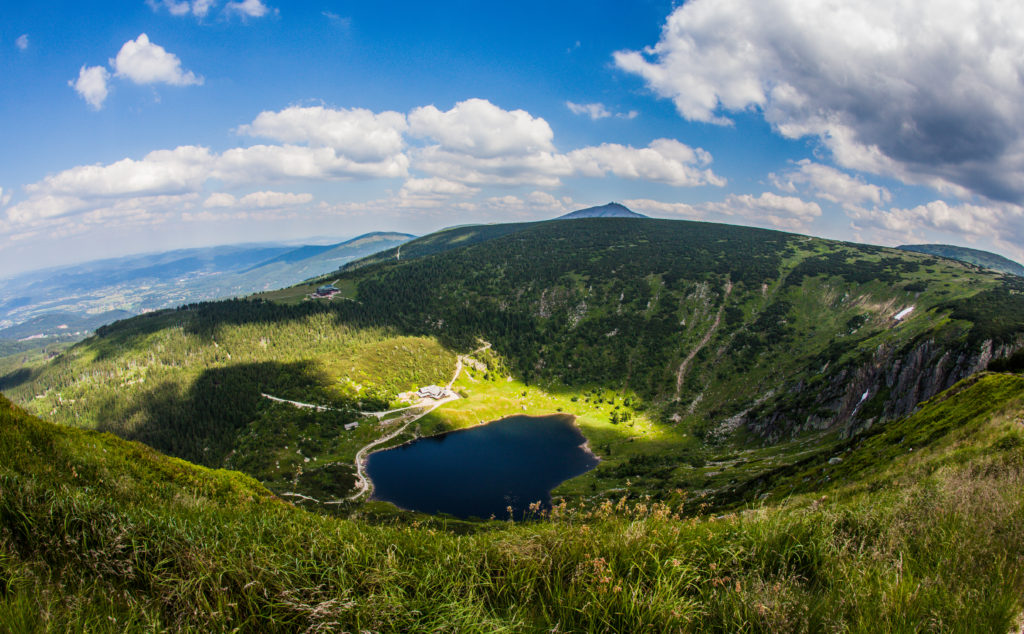
Maly Staw (Little Pond)
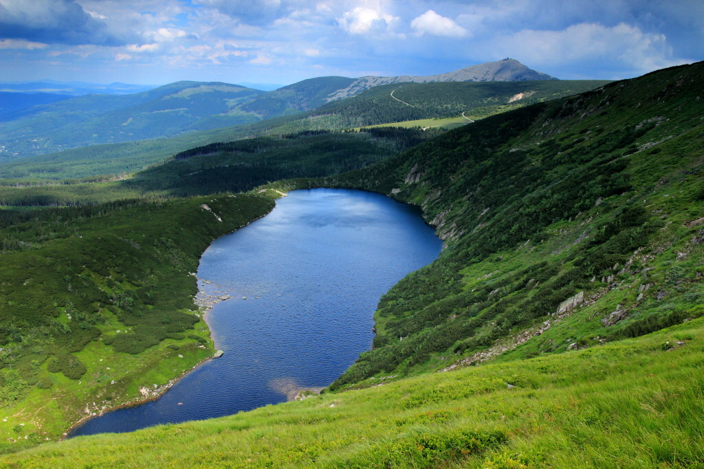
Wielki Staw (Great Pond)
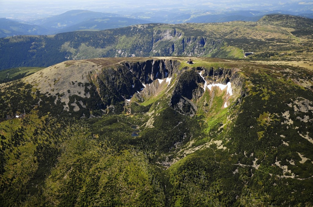
That Špindlerův bouda we will take the ridge path following the red Girl's stones (1414 m), Male stones (1417m) and at Big Hairy (1410 m) and further below High round (1509 m) up to Snow pitsThe snow pits are two massive glacial craters on the northern and eastern slopes. High Plains (1497 m) on the Polish side of the Giant Mountains. From here we will continue through Violnik (1472), Czech booth on Cheesecake and on to Vosecká hutwhere we spend the night.
Fourth day ∙ Wednesday 16. 8. (16 km)
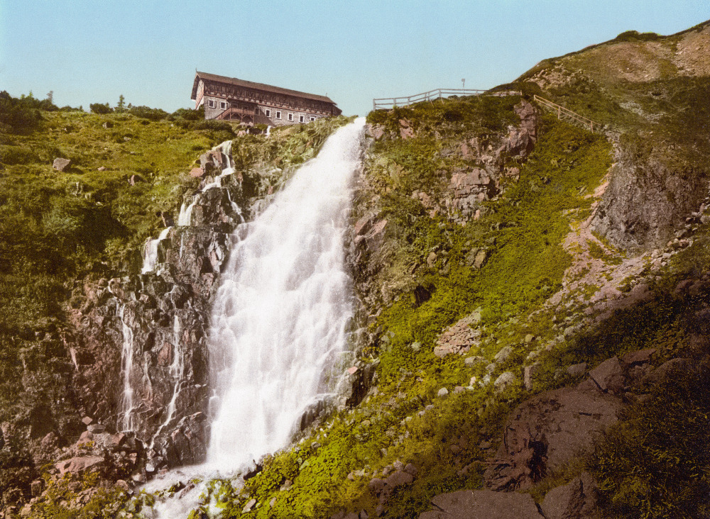
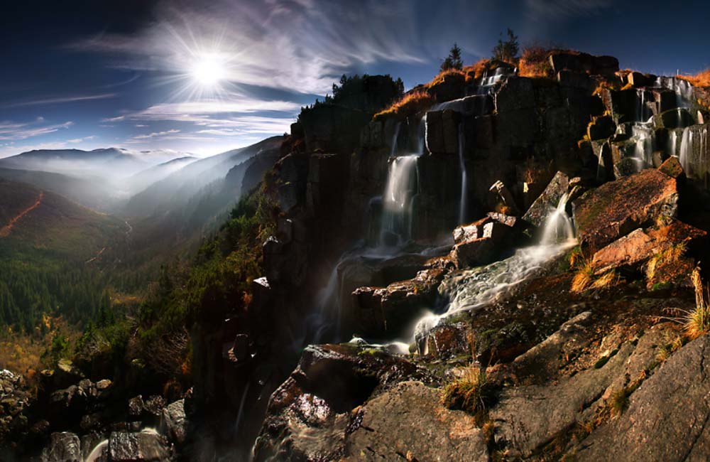
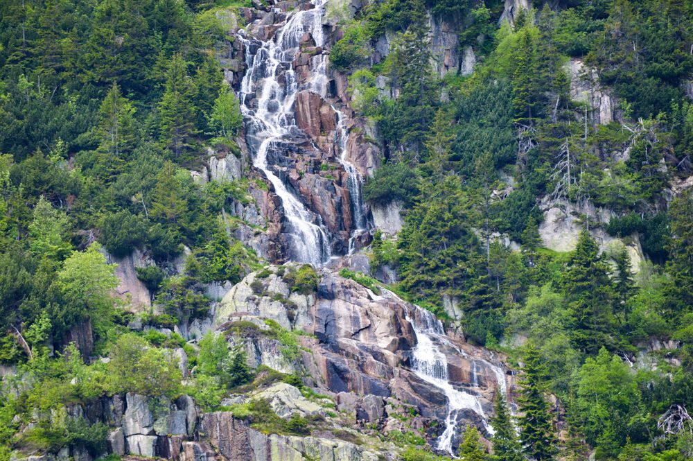
In the morning we will go to to the sources of the Elbe – which CD Friedrich visited on July 10, 1810; they inspired him to create several paintings – if Elbe WaterfallFrom here we first go down to Ambrož's Prospect, from which it is possible to partially observe Pančava waterfall, and then we'll go back to Elbe Waterfall, which falls into the Elbe Gorge with a length of 35 meters. From it we will descend along the blue marked trail (Harrach's path) along the Elbe to the glacial valley Elbe mine. The best way to see the whole of Elbe is from the road through the Elbe mine. Pančava Waterfall, created by a stream Pančava, which is the highest waterfall in the Czech Republic; it measures 148 meters and in the spring during the thaw it extends to 162 meters in the lower part. We will travel through the Labský dol to Spindleruv Mlynfrom where we will return to Prague by bus.
Wielki and Maly Staw in the background of Sněžka
Maly Staw (Little Pond)
Wielki Staw (Great Pond)
"I believe that a lot of good would come from a change in attitude if tourists became pilgrims again."
Rupert Sheldrake
Connections
- Špindlerův Mlýn – Prague, bus / Wednesday 16.8.:
- Špindlerův Mlýn, bus station 13:30 – Prague, Černý Most 15:55
- Špindlerův Mlýn, bus station 14:00 – Prague, Černý Most 16:55
- Špindlerův Mlýn, bus station 15:07 – via Hr. Králové – Prague, Černý Most 18:35
Contacts
- George Zemanek, sarvanga1@seznam.cz, 777 117 466
- Tomas Hruza, tomashruza@gmail.com, 775 052 607
- Barbora Kinkalova, b.knikalova@seznam.cz, 776 123 969